
Abstrak
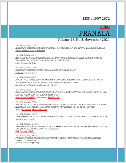
North Barito Regency is one of the regencies in Central Kalimantan Province, Indonesia. The district capital is located in Muara Teweh. This is because of the frequent forest fires in North Barito Regency and the monitoring of land carried out by Manggala Agni by visiting forest lands on a regular basis. So that the supervision carried out takes a long time in its implementation. One way to make it easier to carry out forest monitoring and shorten the time for its implementation is by presenting information geographically.
For this reason, it is necessary to have a geographic information system (GIS) to help facilitate the supervision carried out by Manggala Agni, so that land monitoring and data collection of information from the field can be carried out more effectively and efficiently.
The result is a geographic information system that can make it easier for Manggala Agni officers to monitor and collect data on forest fires in the North Barito Regency.
Referensi
2. Akay, Abdullah E. 2017. Gis-Based Multi-Criteria Decision Analysis For Forest Fire Risk Mapping. Turki.
3. Booch, G. dkk. 2005. The Unified Modeling Language User Guide. New York : Addison Wesley.
4. Datmika, Rafi. 2020. Analisis Kebakaran Hutan Dan Lahan Di Kabupaten Kotawaringin Timur Menggunakan Sistem Informasi Geogerafis. Malang.
5. Djojodihardjo, Dr. Ir. Harijono. 1984. Pengantar Sistem Komputer. Bandung : Erlangga.
6. Eskandari, Saeedeh. 2017. A new approach for forest fire risk modeling using fuzzy AHP and GIS in Hyrcanian forests of Iran.: Iran.
7. Madcoms, 2016. Pemprograman PHP dan MySQL Untuk Pemula. Yogyakarta.
8. Manurung, Edi C. 2017. Aplikasi Sistem Informasi Geografis (Sig) Untuk Penentuan Tingkat Bahaya Kerawanan Kebakaran Hutan Di Kec. Tambang Kabupaten Kampar Provinsi Riau. Pekanbaru.
9. Nugroho, Adi. 2010. Rekayasa Perangkat Lunak Menggunakan UML & Java. Yogyakarta : Andi Offset.
10. Prahasta, E. 2014. Sistem Informasi Geografis: Konsep-konsep Dasar (Perspektif Geodesi & Geomatika). Edisi Revisi. Bandung : Informatika.
11. Pratama, Aldo. 2020. Implementasi Sistem Informasi Geografis Untuk Penentuan Titik Lokasi Baru Pelayanan Disabilitas Di Kota Banjarmasin. Banjarmasin.
12. Purwadhi, Sri H. 2001. Interpretasi Citra Digital. Jakarta : Grasindo.
13. Putra, Ajriansyah. Dkk. 2018. Pemetaan Daerah Rawan Kebakaran Hutan dan Lahan Dengan Menggunakan Sistem Informasi Geografis. Pekanbaru.
14. Saputra, Ardi (Penterjermah). 2013. Dasar Dasar HTML. Jakarta: Informatika.
15. Setiawan, Eko B, 2020. Sistem Informasi Geografis Berbasis Web. Bandung. Informatika.
16. Sibero, Alexander F.K. 2013. Web Programming Power Pack. Yogyakarta : MediaKom.
17. Sirenden, B, H. dkk. 2012. Buat Sendiri Aplikasi Petamu Menggunakan Codelgniter Dan Google Maps API. Yogyakarta : Andi Publisher.